
A baseline is often treated as the first box to tick in a project. In reality, it is the reference point that determines whether we can later distinguish real improvement from normal variability, noise or wishful thinking.
Baseline is not bureaucracy
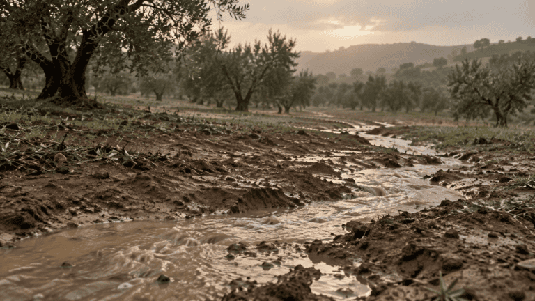
In environmental projects, the exciting part usually comes later: restoring a degraded area, changing a management practice, installing new monitoring systems, introducing a nature-based solution or testing an innovative soil treatment. The baseline can feel like the quiet part before the real work begins.
But a project without a robust baseline has a fundamental problem. Once the intervention starts, the original condition is gone. We may still have maps, historical records, satellite images or nearby reference areas, but we no longer have the same opportunity to measure the system as it actually was.
That makes the baseline more than a preliminary survey. It is the project’s memory.
What are we really trying to capture?
A good baseline is not simply a long list of measurements. Its value comes from selecting information that is capable of answering the questions the project will eventually ask.
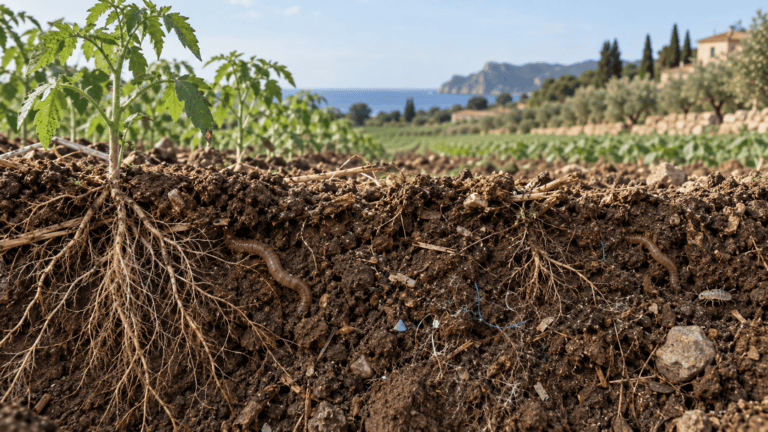
For a soil-health project, that might include organic carbon, nutrient status, bulk density, infiltration, biological activity, vegetation cover and management history. For ecological restoration, it may also require habitat structure, species composition, pressures, connectivity and remote-sensing indicators. For an environmental monitoring programme, spatial variability and seasonal behaviour may be just as important as the average value.
The principle is simple: measure the system in a way that makes future change interpretable.
The baseline tells us what “normal” looks like
Environmental systems are naturally variable. Soil moisture changes after rainfall. Vegetation indices vary with season. Microbial communities respond to temperature and crop stage. Biodiversity observations depend on weather, timing and sampling effort.
If we only measure after an intervention, a higher or lower value can look meaningful even when it is part of normal fluctuation. A baseline provides context. Ideally, it captures enough spatial and temporal variation to define the range within which the system usually operates.
This is especially important when projects aim to demonstrate resilience. Resilience is not just a final value; it is the way a system responds to disturbance and recovers. Without knowing the starting condition, the magnitude of the disturbance and the normal range of variability, recovery is difficult to quantify.
The hidden cost of a weak baseline
Poor baselines rarely cause an obvious problem at the beginning of a project. The consequences usually appear later, when the team has to demonstrate impact.
Imagine a restoration site where soil organic carbon is measured only once, in a small number of locations, immediately before implementation. Three years later, carbon is measured again and has increased. Is that increase caused by the intervention? Was the second campaign conducted in exactly the same locations? Were the initial samples representative of the site? Could land-use history, topography or soil texture explain part of the difference?
The weaker the baseline, the more assumptions are needed to interpret the result. Eventually, uncertainty can become larger than the change we are trying to demonstrate.
“A baseline does not just describe where a project starts. It defines what evidence of change will look like.”
A good baseline improves decisions before the project is finished
The value of baseline information is not limited to final reporting. It can immediately reveal differences that change the way an intervention should be designed.
A supposedly uniform field may contain distinct soil zones. A restoration area may include patches with very different degradation pressures. A catchment may show hotspots that justify more intensive monitoring. Satellite imagery may reveal patterns that are invisible during a conventional field visit.
In other words, baseline data can move a project from a standardised intervention to a targeted one. It helps answer a more useful question: not simply “What should we do?”, but “What should we do here, and where should we do it differently?”
Baseline design is really about future comparison
The strongest baseline studies are designed backwards from the comparisons that will be needed later.
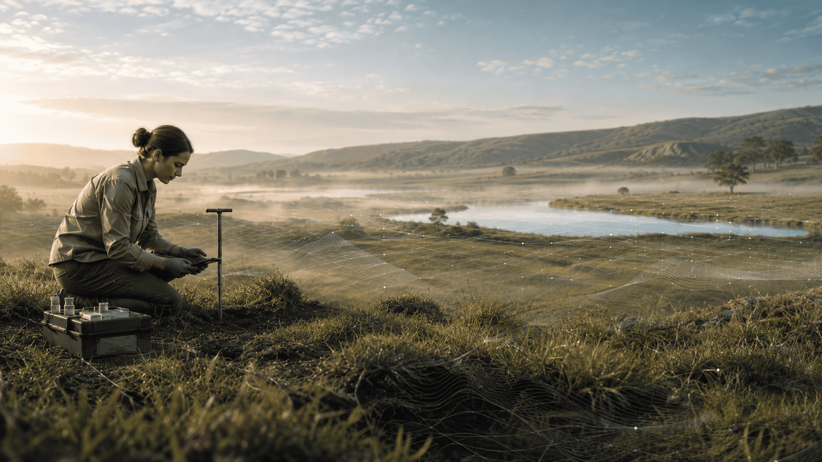
If treatment and control areas will be compared, the baseline should establish whether they were comparable before intervention. If change will be evaluated spatially, sampling locations should be georeferenced precisely. If remote sensing will be used for monitoring, field measurements should be collected in a way that supports calibration and validation. If seasonal processes matter, one sampling campaign may not be enough.
This also means documenting methods carefully. Sampling depth, equipment, laboratory protocol, coordinate system, timing, weather conditions and data-processing steps can all become critical when the same measurement is repeated years later.
What makes a baseline useful?
There is no universal baseline package. The right design depends on the system, the intervention and the decision that needs to be supported. But useful baselines tend to share a few characteristics:
• Relevant. Indicators are linked directly to the expected mechanisms of change.
• Spatially representative. The design captures important differences across the site rather than relying only on convenient sampling points.
• Repeatable. Locations, methods and protocols can be reproduced in future monitoring campaigns.
• Time-aware. Seasonality and short-term variability are considered when they could affect interpretation.
• Integrated. Field observations, laboratory measurements, GIS, remote sensing and management information are connected where useful.
• Well documented. Metadata are treated as part of the evidence, not as an administrative afterthought.
• Proportionate. The baseline is detailed enough to support decisions without collecting data that will never be used.
More data is not automatically a better baseline
One of the easiest mistakes is to respond to uncertainty by measuring everything. That can create expensive datasets without creating better evidence.
The question should not be how many indicators can be collected, but how much information is needed to detect and explain the changes that matter. A small number of well-chosen, repeatable indicators can be more valuable than dozens of disconnected measurements.
This is where multidisciplinary baseline design becomes especially powerful. Soil science, ecology, GIS, remote sensing, statistics and local knowledge can identify different dimensions of the same system and help decide which ones genuinely need to be monitored.
From baseline to evidence
The baseline becomes truly valuable when it is connected to the rest of the monitoring strategy. The same indicators, spatial framework and quality controls should continue through implementation and post-intervention assessment.
That continuity transforms isolated measurements into a trajectory. Instead of saying that a site looks better, we can quantify how much it changed, where change occurred, how confident we are in the result and whether the response is consistent with the mechanism we expected.
For organisations investing in restoration, sustainable agriculture, biodiversity, climate adaptation or environmental technology, that difference matters. It turns an intervention into evidence.
Start by protecting the “before”
There is always pressure to begin implementation quickly. But the short period before an intervention is often the only opportunity to create a defensible picture of the starting point.
A few extra days spent designing the baseline can improve years of monitoring, reduce ambiguity in impact assessment and make the final results far more credible.
The baseline may never be the most visible part of a project. It is, however, often the reason the project can later prove that something genuinely changed.