
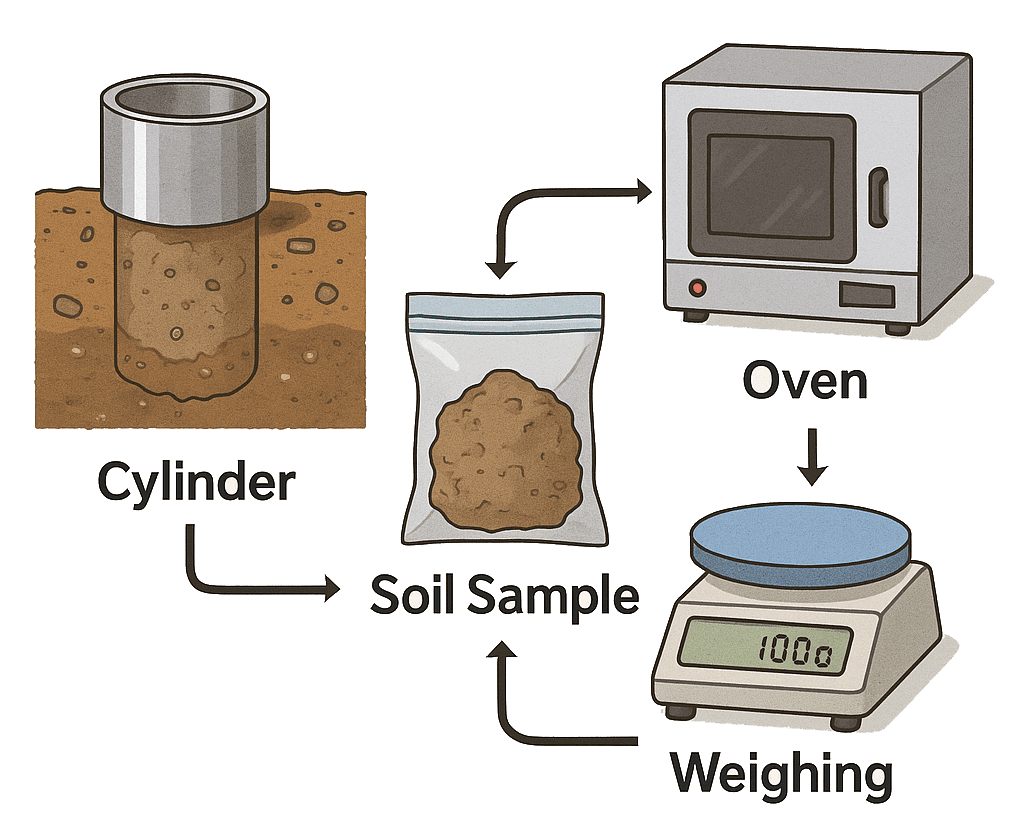
Soil bulk density is, quite simply, the mass of dry soil solids per unit volume, expressed in kg/dm³ (or g/cm³). It reveals how tightly the soil particles—sand, silt and clay—are packed together, including the pore spaces between them. A higher bulk density means the soil is more compacted and less porous; a lower bulk density indicates a looser, more sponge-like structure that can hold water and air more readily.
A Down-to-Earth Analogy
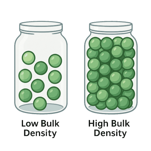
Imagine two jars of marbles. One jar is loosely filled, with plenty of gaps between the marbles; the other is shaken until the marbles settle as tightly as possible. The first jar mimics soil with low bulk density—lots of pore space—while the second jar represents soil with high bulk density, where the particles are closely packed and water struggles to infiltrate.
How It Matters to Farmers
Consider three practical scenarios that illustrate bulk density’s importance:
- Tillage and Compaction
- Suppose a field of winter wheat has a bulk density of 1.60 kg/dm³ in the top 5 cm. After a 20 mm irrigation, water drains through in under two hours—far too quickly for optimal root uptake.
- By subsoiling and reducing bulk density to 1.30 kg/dm³, the same field might retain moisture for six hours, helping roots stay hydrated and boosting yield by up to 12 %.
- Irrigation Scheduling
- A sandy, dense soil (1.55 kg/dm³) at 15 cm depth may only hold 10 % of its volume in water, necessitating irrigation every three days.
- In contrast, a loam with lower bulk density (1.25 kg/dm³) can retain 25 % water, allowing irrigation intervals of five to six days—a potential 30 % annual water saving.
- Machinery Traffic
- Each pass of a 12-tonne tractor can increase bulk density by 0.20 kg/dm³ down to 20 cm depth.
- By restricting machinery to permanent wheelings and avoiding multiple passes over the same line, farmers can limit soil compaction and preserve structure.
Why Scientists Value Bulk Density
Bulk density underpins models of erosion, hydrology and climate interactions:
- Erosion Risk: On a 15 ° slope, soils over 1.6 kg/dm³ might generate 40 % more surface runoff and lose up to five tonnes of sediment per hectare in a 30 mm storm than soils at 1.2 kg/dm³.
- Carbon Sequestration: Denser soils store less organic matter, reducing CO₂ sequestration potential by around 15 % over decades.
- Water Balance: Incorporating bulk density into groundwater recharge models refines aquifer yield forecasts and helps urban planners gauge subsidence risks where heavy landscaping is common.
Introducing the Soil Bulk Density GeoViewer
To bridge the gap between soil science and practical fieldwork, we’ve developed an interactive Bulk Density GeoViewer that brings bulk density maps straight to your fingertips. Rather than wrestling with printed charts or abstract numbers, this tool displays real-time bulk density data overlaid on a familiar street-map backdrop, so you can:
- Instantly locate yourself in the field via your browser or mobile device’s GPS.
- Visualise bulk density in the top 0–5 cm of soil using SoilGrids’ high-resolution WMS service.
- Adjust transparency on the fly with a simple slider, letting you compare subsurface data against roads, boundaries or other map layers.
- Refer to an intuitive legend that uses a green-to-blue colour ramp—mirroring the soil’s compaction levels—so even non-experts can interpret the map at a glance.
- See the scale bar for quick distance checks and activate the measurement tool to calculate areas in hectares or distances in metres.
By combining geolocation, real-time WMS imagery and user-friendly controls, the GeoViewer empowers both farmers and researchers to:
- Pinpoint zones of excessive compaction that may benefit from targeted subsoiling.
- Monitor how bulk density evolves over time—before and after tillage or heavy machinery traffic.
- Plan irrigation schedules based on precise, location-specific soil porosity.
- Share customised views with agronomists or colleagues via a simple link.
